How a Software Map of the Entire Planet Could Change the World Forever
Share
i
“3D map data is the scaffolding of the 21st century.”
–Edward Miller, Founder, Scape Technologies, UK
Covered in cameras, sensors, and a distinctly spaceship looking laser system, Google’s autonomous vehicles were easy to spot when they first hit public roads in 2015. The key hardware ingredient is a spinning laser fixed to the roof, called lidar, which provides the car with a pair of eyes to see the world. Lidar works by sending out beams of light and measuring the time it takes to bounce off objects back to the source. By timing the light’s journey, these depth-sensing systems construct fully 3D maps of their surroundings.
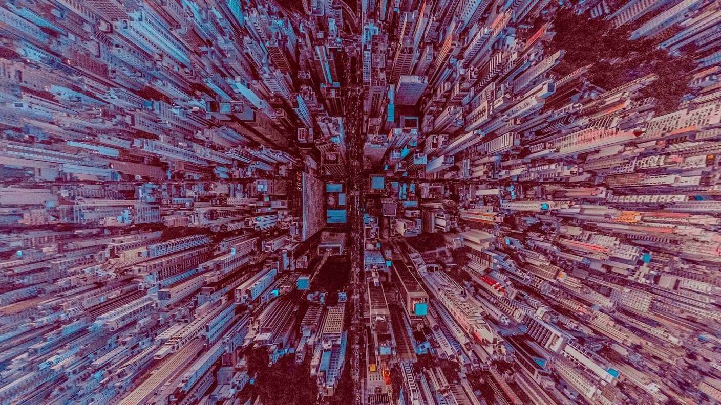
3D maps like these are essentially software copies of the real world. They will be crucial to the development of a wide range of emerging technologies including autonomous driving, drone delivery, robotics, and a fast-approaching future filled with augmented reality.
Like other rapidly improving technologies, lidar is moving quickly through its development cycle. What was an expensive technology on the roof of a well-funded research project is now becoming cheaper, more capable, and readily available to consumers. At some point, lidar will come standard on most mobile devices and is now available to early-adopting owners of the iPhone 12 Pro.
Consumer lidar represents the inevitable shift from wealthy tech companies generating our world’s map data, to a more scalable crowd-sourced approach. To develop the repository for their Street View Maps product, Google reportedly spent $1-2 billion sending cars across continents photographing every street. Compare that to a live-mapping service like Waze, which uses crowd-sourced user data from its millions of users to generate accurate and real-time traffic conditions. Though these maps serve different functions, one is a static, expensive, unchanging map of the world while the other is dynamic, real-time, and constructed by users themselves.
Soon millions of people may be scanning everything from bedrooms to neighborhoods, resulting in 3D maps of significant quality. An online search for lidar room scans demonstrates just how richly textured these three-dimensional maps are compared to anything we’ve had before. With lidar and other depth-sensing systems, we now have the tools to create exact software copies of everywhere and everything on earth.
At some point, likely aided by crowdsourcing initiatives, these maps will become living breathing, real-time representations of the world. Some refer to this idea as a "digital twin" of the planet. In a feature cover story, Kevin Kelly, the cofounder of Wired magazine, calls this concept the "mirrorworld," a one-to-one software map of everything.
So why is that such a big deal? Take augmented reality as an example.
Of all the emerging industries dependent on such a map, none are more invested in seeing this concept emerge than those within the AR landscape. Apple, for example, is not-so-secretly developing a pair of AR glasses, which they hope will deliver a mainstream turning point for the technology.
For Apple’s AR devices to work as anticipated, they will require virtual maps of the world, a concept AR insiders call the “AR cloud," which is synonymous with the "mirrorworld" concept. These maps will be two things. First, they will be a tool that creators use to place AR content in very specific locations; like a world canvas to paint on. Second, they will help AR devices both locate and understand the world around them so they can render content in a believable way.
Imagine walking down a street wanting to check the trading hours of a local business. Instead of pulling out your phone to do a tedious search online, you conduct the equivalent of a visual google search simply by gazing at the store. Albeit a trivial example, the AR cloud represents an entirely non-trivial new way of managing how we organize the world’s information. Access to knowledge can be shifted away from the faraway monitors in our pocket, to its relevant real-world location.
Ultimately this describes a blurring of physical and digital infrastructure. Our public and private spaces will thus be comprised equally of both.
Be Part of the Future
Sign up to receive top stories about groundbreaking technologies and visionary thinkers from SingularityHub.

No example demonstrates this idea better than Pokémon Go. The game is straightforward enough; users capture virtual characters scattered around the real world. Today, the game relies on traditional GPS technology to place its characters, but GPS is accurate only to within a few meters of a location. For a car navigating on a highway or locating Pikachus in the world, that level of precision is sufficient. For drone deliveries, driverless cars, or placing a Pikachu in a specific location, say on a tree branch in a park, GPS isn’t accurate enough. As astonishing as it may seem, many experimental AR cloud concepts, even entirely mapped cities, are location specific down to the centimeter.
Niantic, the $4 billion publisher behind Pokémon Go, is aggressively working on developing a crowd-sourced approach to building better AR Cloud maps by encouraging their users to scan the world for them. Their recent acquisition of 6D.ai, a mapping software company developed by the University of Oxford’s Victor Prisacariu through his work at Oxford’s Active Vision Lab, indicates Niantic’s ambition to compete with the tech giants in this space.
With 6D.ai’s technology, Niantic is developing the in-house ability to generate their own 3D maps while gaining better semantic understanding of the world. By going beyond just knowing there’s a temporary collection of orange cones in a certain location, for example, the game may one day understand the meaning behind this; that a temporary construction zone means no Pokémon should spawn here to avoid drawing players to this location.
Niantic is not the only company working on this. Many of the big tech firms you would expect have entire teams focused on map data. Facebook, for example, recently acquired the UK-based Scape technologies, a computer vision startup mapping entire cities with centimeter precision.
As our digital maps of the world improve, expect a relentless and justified discussion of privacy concerns as well. How will society react to the idea of a real-time 3D map of their bedroom living on a Facebook or Amazon server? Those horrified by the use of facial recognition AI being used in public spaces are unlikely to find comfort in the idea of a machine-readable world subject to infinite monitoring.
The ability to build high-precision maps of the world could reshape the way we engage with our planet and promises to be one of the biggest technology developments of the next decade. While these maps may stay hidden as behind-the-scenes infrastructure powering much flashier technologies that capture the world’s attention, they will soon prop up large portions of our technological future.
Keep that in mind when a car with no driver is sharing your road.
Image credit: sergio souza / Pexels

Related Articles

OpenAI Agent Breaks Free and Hacks Hugging Face

Orbital Data Centers Are Seductive on Paper, but They Face Daunting Challenges in Reality

In the Scramble to Power AI, Investors Bet $140 Million on Data Centers at Sea
OpenAI Agent Breaks Free and Hacks Hugging Face
Orbital Data Centers Are Seductive on Paper, but They Face Daunting Challenges in Reality
In the Scramble to Power AI, Investors Bet $140 Million on Data Centers at Sea
What we’re reading